States
Wyoming borders six states. Can you name them all?
 Coming soon to iPhone, iPad and Android
The daily map game. Ten questions, every day.
States, countries, seaports and airports. Everyone gets the same ten questions every day, plus a 60-second speed round when you want more.
Try it
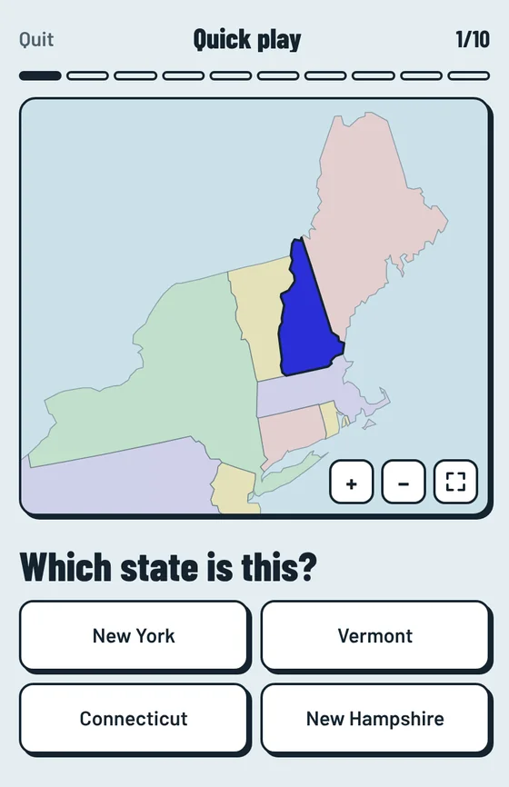
One from each topic. The real game has ten a day, on a map you can zoom.
Which port is CNSHA?
CN is China and SHA is Shanghai. Every UN/LOCODE works this way: two letters for the country, three for the place.
ORD is the code for which airport?
ORD comes from Orchard Field, the airport’s name before it became O’Hare.
How many states border Tennessee?
Eight, tied with Missouri for the most of any state.
Lesotho is completely surrounded by which country?
Lesotho is one of only three countries entirely surrounded by another, along with Vatican City and San Marino.
You got . Play the real thing
The game
Ten questions, the same for everyone, new at midnight your time.
Sixty seconds. Answer as many as you can.
Ten mixed questions with no clock, for a calm round.
Get a place right twice in a row and it colors in on your own map.
Places you miss go on a practice list, so the hard ones stick.
Optional. Add a name and email to rank against other players and keep your phone and computer in sync.
Four topics
Play them mixed, which is the default, or pick one topic to focus on. Three levels: Explorer, Standard and Expert.
States
Wyoming borders six states. Can you name them all?
Countries
Chile runs about 4,300 km from north to south.
Ports
Rotterdam, the biggest port in Europe, by its UN/LOCODE.
Airports
Toronto Pearson. Most Canadian airport codes start with Y.
Who plays
Students and teachers, shipping and logistics teams, travelers, and anyone who likes maps. Alongside states and countries, Waypoint quizzes the port and airport codes that freight and travel people use at work.
It’s free for personal play and for teachers using it in class. For paid courses, company training or publishing, email hello@eureka-holdings.com about a license.
Privacy at a glance
Help and policies
Map shapes come from public-domain data (Natural Earth and the U.S. Census Bureau). Seaport codes come from the United Nations’ UN/LOCODE list. Airport codes are the standard three-letter IATA codes. Waypoint isn’t affiliated with or endorsed by the United Nations, IATA, or any port, airport, airline or shipping line. Waypoint is made by Eureka Holdings LLC.